Approved the new map of Singular Scientific and Technological Infrastructures (ICTS)
Last 6th November of 2018, the Scientific, Technological and Innovation Policy Council approved the updating of the Unique Scientific and Technical Infrastructure Map (ICTS). The new Map integrates 29 ICTS, which brings together 62 infrastructures, all of them operative.
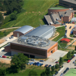
In this new update the number of ICTS is maintained, but the number of infrastructures is increased by the incorporation of new nodes to existing distributed ICTS. The Network of High-Security Biological Laboratories (RLASB) is one of the infrastructures that make up the ICTS map constituted by two nodes, the IRTA-CReSA and the CISA-INIA.
The Council has counted with the participation of the 10 ministries with competences in R+D+I and with representatives of 16 Autonomous Communities. The objective is the coordination between the different public areas and to improve the strategic direction of science and innovation policies.
The ICTS map
The map of Singular Scientific and Technical Infrastructures is a planning and development tool for these infrastructures in coordination with the Autonomous Communities. The new ICTS Map is the result of a rigorous independent evaluation process and consolidates the single location and distributed infrastructure.
The Singular Scientific and Technical Infrastructures (ICTS) are large facilities, resources, equipment and services, unique in their kind, which are dedicated to cutting-edge technological research and development of the highest quality, as well as to encourage transmission, exchange and preservation of knowledge, technology transfer and innovation. They are available to the scientific, technological and industrial, national and international community with a very high investment and / or maintenance and operation cost. Its strategic nature justifies its competitive access for the entire R+D+I system.
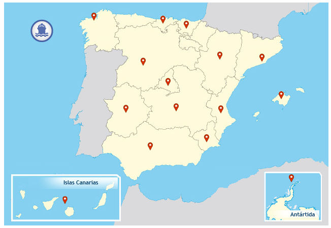
ICTS map. Source: MICINN
The 29 Singular Scientific and Technical Infrastructures have been planned, from an operational point of view, in eight areas:
- Astronomy and Astrophysics: Canary Islands Telescope, Canary Observatories, Calar Alto Astronomical Observatory, IRAM 30M Radio Telescope, Yebes Astronomical Center, Javalambre Astrophysical Observatory and Canfranc Underground Laboratory.
- Marine, Life and Earth Sciences: Canary Islands Oceanic Platform, Coastal Observation System of the Balearic Islands, Spanish Oceanographic Fleet, Spanish Antarctic Bases, Doñana Biological Reserve and Infrastructure for the Cultivation of Bluefin Tuna.
- Information and Communications Technologies: Spanish Supercomputing Network – coordinated by the National Supercomputing Center – and RedIris.
- Health Sciences and Biotechnology: Integrated Infrastructure for the Production and Characterization of Nanomaterials, Biomaterials and Systems in Biomedicine, Integrated Infrastructure of Omic Technologies, Highly Biological Safety Laboratories Network, Distributed Network of Biomedical Imaging and Nuclear Magnetic Resonance Laboratories Network Biomolecules
- Energy: Plataforma Solar de Almería and National Fusion Laboratory.
- Engineering: Added Infrastructures for Maritime Hydraulic Research.
- Materials: ALBA Synchrotron, Network of White Rooms of Micro and Nanofabrication, Integrated Infrastructure of Electron Microscopy of Materials, Center of Pulsed Ultra-Light Lasers and National Center of Accelerators.
- Socioeconomic Sciences and Humanities: National Center for Research in Human Evolution.
By autonomous communities, Madrid (12 infrastructures) and Catalonia (11) occupy the first two state positions, followed by Andalusia (8), the Canary Islands (5), Aragón (4), the Valencian Community (3), the Balearic Islands (3), the Basque Country (3), Castilla y León (3), Galicia (3), Cantabria (2), Extremadura (2) and, finally, Castilla-La Mancha (1).